Step 3: Transformed coordinates of the points
This is the third and last step in computing the transformation.
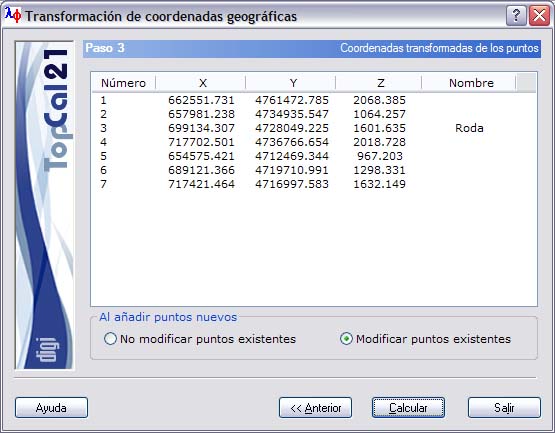
If the transformation selected in step 1 was Transform geographics, a screen is displayed with the coordinates of the points selected in the previous step, referred to the reference system of the current point file. This list contains the following fields:
- Point number
- Point coordinates
- Point name
When adding the transformed points to the current point file, you can select Not modify existing points or Modify existing points that have the same number.
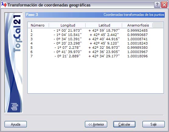
If the transformation selected in step 1 was Generate geographics, a screen is displayed with the geographic coordinates of the points selected in the previous step. This list contains the following fields:
- Point number
- Longitude, in sexagesimal degrees
- Latitude, in sexagesimal degrees
- If the projection of the current file is UTM, the Linear anamorphosis of the projection at this point is displayed. Otherwise, the Height of the point is displayed.
Once the output data have been configured, you can finish the process by clicking the Compute button, or return to the previous step, Step 2: Selection of points to transform, by clicking the Back button.