Improvements when specifying the coordinate reference system of an aerial triangulation model/project
We keep making Digi3D.NET more and more intuitive.
Previously, if we loaded a project that did not provide coordinate reference system, Digi3D.NET silently assigned loaded models to a Local (unknown) system.
If we knew the coordinate reference system of the project and wanted to assign it (for example to connect with Google Earth), we had to create a file .PRJ with the same name as the aerial triangulation file and specify the coordinate reference system appropriate.
The problem is that this wasn’t very intuitive, so we’ve improved it.
Now when loading a model, if it is detected that it does not have an associated SRC the program will display the following dialog box:
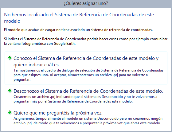 which is completely self-explanatory and will perform the actions for us.
You can see this feature in action in the following video:
[youtube:https://youtu.be/2IB5l2D2nNc]