Beritec Geomatic maps 100,000 hectares of BTA05 for the Government of Extremadura with Digi3D.NET
Success story with Digi3D.NET
BERITEC GEOMATIC has successfully executed almost 100.000 Ha of BTA05 for the Government of Extremadura.
This project called BTA05 Jerez de los Caballeros and others, has focused on the elaboration of Harmonized Topographic Base mapping from the flight of the PNOA of 25 centimeters, in the southwestern area of Extremadura.
Digi3D.NET was used for three-dimensional photogrammetric stereoplotting. The generated .bind files were reviewed by editing operators, who loaded different information sources beneath the stereoplotting results, including .ECW orthophotos and WMS connections to SIOSE or SIGPAC, to check the land use information captured by the photogrammetric operators.
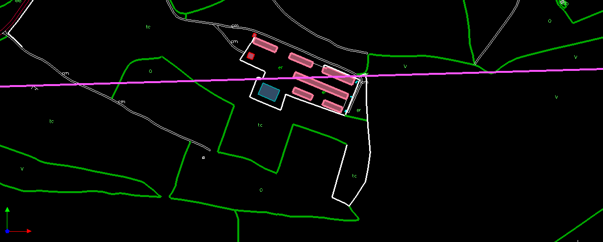
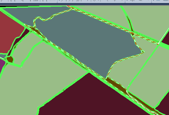
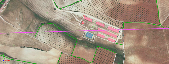 Then all the editing and linking with databases has been done in Digi3D.NET taking advantage of the topology creation and control functions. These tools that in the last version have been deeply improved are the ones that have allowed Beritec Geomatic not to leave the work environment of Digi3D.NET during the entire project execution process. The topological enclosures have been created with the new tools from the land use centroids. And finally it has been possible to export the resulting files to .SHP and .DGN format with linking to databases.
“DIGI has allowed us to operate a complete project within a single work environment” “The possibility of renting licenses allows us to modulate and adapt production to the project delivery deadlines, without the need for fixed costs” “I value very positively the ability of DIGI to relate with the other formats in the market” “BINTOP and BINTRAM tools have been integrated into the application and are now much more powerful” by Juan Luis Bermúdez González